|
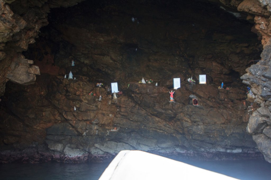 |
| Rock Chapel | |
| Latitude: N 10°23'27,29" | Longitude: W 64°22'47,26" | Altitude: 13 metres | Location: Manare | City: Cumaná | State/Province: Estado Sucre | Country: Venezuela | Copyright: Ron Harkink | See map | |
| Total images: 26 | Help | |
|
|
|
| Rock Chapel | |
| Latitude: N 10°23'27,29" | Longitude: W 64°22'47,26" | Altitude: 13 metres | Location: Manare | City: Cumaná | State/Province: Estado Sucre | Country: Venezuela | Copyright: Ron Harkink | See map | |
| Total images: 26 | Help | |